WEBGIS
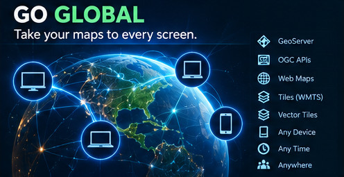
Go Global.
Take your maps and geospatial data to every screen through modern, standards-based WebGIS.
What we do
CordOps builds WebGIS systems that connect spatial data, maps and users through modern web technologies.
The focus is on open standards and a clean separation between the client, geospatial services and spatial database. This allows systems to evolve without locking the entire application to a single technology.
WebGIS architecture
OpenLayers
Interactive browser-based mapping, spatial interaction and visualisation.
GeoServer
Publication of spatial data through established geospatial service standards.
PostGIS
Spatial database storage, querying and management.
OGC Standards
WMS, WFS and modern OGC APIs for interoperable geospatial services.
Capabilities
- Interactive WebGIS applications
- Map-based data exploration
- GeoServer-based spatial services
- PostGIS-backed WebGIS systems
- OGC API integration
- Legacy WMS/WFS integration
- Responsive mapping interfaces
Our approach
We design WebGIS systems around the data and workflows they need to support rather than treating the map as an isolated interface.
Spatial databases, geospatial services, standards and the client application are designed to work together as one system.