DATA MIGRATION
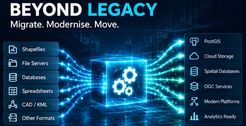
Beyond Legacy.
Migrate, modernise and move geospatial data from legacy formats and systems into reliable, structured and interoperable environments.
What we do
Geospatial data often exists across multiple formats, databases and legacy systems. Moving that data is not simply a file conversion exercise. It requires understanding the data, its structure, spatial reference systems, dependencies and the environment in which it will be used.
CordOps approaches migration as an engineering process: understand the source, establish a target model, transform the data, validate the result and make it ready for its next system.
Capabilities
Legacy Data
Migration from shapefiles, GeoPackages, file-based datasets and other existing geospatial sources.
Spatial Databases
Migration into PostgreSQL and PostGIS environments with structured spatial data models.
Data Transformation
Coordinate transformations, schema mapping, attribute transformation and data normalisation.
OGC Publication
Preparing migrated data for modern OGC services and legacy WMS/WFS environments where required.
Typical migration work
- Shapefile to PostGIS migration
- GeoPackage to PostgreSQL/PostGIS
- Legacy spatial database modernisation
- Multi-source data consolidation
- Schema and coordinate-system transformation
- Preparation of migrated data for OGC services
Our approach
Every migration begins with understanding the source data and the intended destination. Transformation rules are established before migration, followed by validation of geometry, attributes, coordinate systems and data completeness.
The objective is not simply to move files. It is to produce data that is ready for the systems and workflows that depend on it.
Have data that needs to move?
Tell us about the source, target and the challenges involved.
Get in touch